How to Run a Community Walking Audit
A practical guide to choosing a route, documenting barriers with residents, and turning a walking audit into requests local teams can act on
November 10, 2026
•6 min read
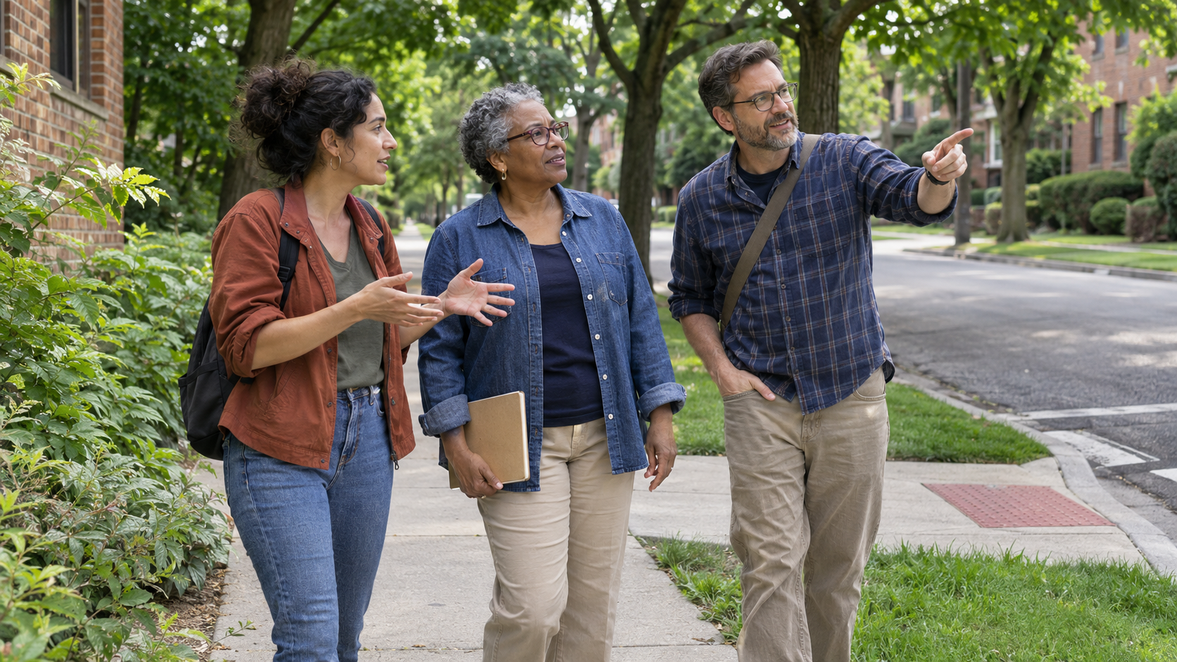
A bus stop and a library can be close together on a map and still be difficult to travel between. The way might involve a curb ramp that floods after rain, a driveway with poor visibility, or a stretch with nowhere to rest. People who make the trip regularly will notice different things from people who have stopped making it altogether.
A community walking audit brings those experiences together with observations from a specific route. Residents, organizers, and local partners travel the route or review it from accessible stopping points, record what helps or interrupts a trip, and agree what to ask the people responsible for the street or service to do next.
Pick a Trip People Need to Make
Start with two places and a reason to travel between them. “What makes it difficult to get from the bus stop to the library during opening hours?” is a question a small group can investigate. A community asset map can help find destinations residents already value and the connections worth looking at first.
Include the whole connection. A route that ends at the edge of the library grounds can miss the path to the entrance. One that starts after people have crossed the road misses the experience of getting off a bus on the opposite side. Mark the start, end, and stopping points on a simple route sketch so everyone understands what the group will cover.
Visit beforehand to choose safe places to pause. Check where people can sit, turn back, meet the group partway, or reach a toilet. Schedule the audit around the trip you want to understand. A quiet midday visit might work for the library route. If the concern is evening access, arrange a separate observation at the relevant time from a safe location.
Invite People Who Experience the Route Differently
Ask people who use mobility aids, people who travel with children, and others who depend on the route how they would like to contribute. Ask who is missing from the conversation. Someone who now gets a lift to the library because the crossing feels difficult may know more about that barrier than a dozen people who walk through it easily.
Share the distance, approximate time, terrain, rest points, and any known obstacles in advance. Offer a way to contribute by phone or at a short meeting with the same route sketch and questions. Have someone mark those reports on the map alongside the field observations. Nobody needs to demonstrate that a barrier affects them by trying to get past it.
On the day, assign someone to lead the group and someone to keep the log. Give people time to finish a comment and room for other sidewalk users to pass. At each stop, ask what makes this part of the trip easier and what might force someone to wait, ask for help, detour, or turn back.
Record the Obstacle and What It Does to the Trip
A useful field note gives someone else enough information to find the spot and understand the issue. Use the same short set of prompts for each stop, borrowing the idea of a shared method for gathering observations.
- Location and conditions. Record the side of the street, the nearest corner or landmark, and the direction of travel. Add the date, time, and any relevant conditions such as rain, darkness, deliveries, or school pickup.
- What the group noticed. Describe the physical feature or activity. A missing section of sidewalk, a queue across the path, and an uneven surface call for different follow-up.
- Effect on the trip. Record what people had to do or said they usually do. Note whether the issue comes from a field observation, a participant's account, or both.
- What helps. Record useful features such as a bench before a steep stretch or a continuous path to the entrance. Those details can matter when changes are planned.
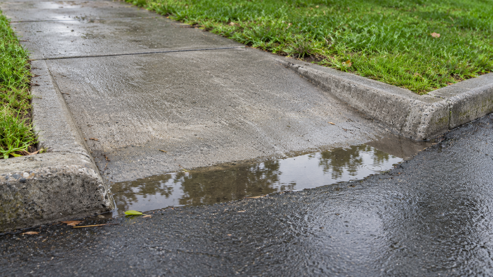
Imagine the group finds water across the bottom of the curb ramp at the corner nearest the library after light rain. One participant reports using the opposite corner on wet days, adding another crossing. The puddle is an observation from that visit. The usual detour is a participant report. Put both in the log, then ask the responsible team to inspect the ramp after rain. The group can make a specific request without diagnosing the cause.
Photographs can help someone find the obstacle. Take them from a safe stopping point, keep faces and identifying details out of the frame, and agree how the images and notes will be shared. If conditions prevented the group from reaching part of the route, mark that segment as unvisited. It still belongs in the follow-up.
Turn the Findings Into Requests
Bring the notes and route sketch together while the walk is fresh. Combine repeated observations at the same location and keep distinct impacts visible. A corner that slows many people and a gap that makes the route impassable for a few deserve separate attention. Discuss which issues interrupt a necessary trip, what alternatives exist, and who is most affected.
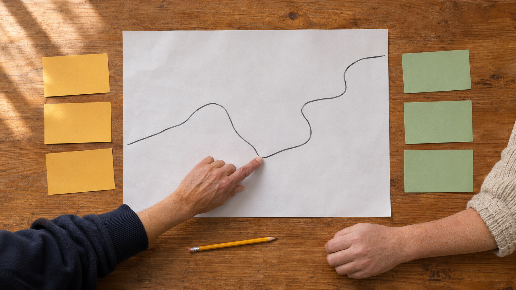
Choose a short list to send first. Separate a maintenance request from a change that needs further assessment. A blocked path may have a straightforward reporting channel. A request for a different crossing location may involve both a road authority and a transit provider. If ownership is unclear, ask the first contact to identify the responsible team and confirm who will respond.
For each priority, send the location, an observation or photo where appropriate, the effect on the trip, and a specific request. Record who will follow up and when. If several feasible changes emerge and residents need to weigh their tradeoffs, a community co-design workshop can help them work through the options with the people who can act on them.
Tell Participants What Happened
Share a plain-language summary in the same places you used to invite people. Say which route was covered, where the evidence was limited, what was submitted, and when participants can expect another update. Invite corrections before treating the notes as the group's final account.
If something changes, return under comparable conditions where practical and ask people affected by the original barrier whether their trip is easier. For the library ramp, a dry-day photograph of completed work can confirm the repair took place. A visit after rain and feedback from people who used to detour can help establish whether it addressed the problem they raised.
Images are AI-generated illustrations of a community walking audit and its materials.